

Hello Dear Neighbors,
Most of you are already aware, but writing is hard yo! A year into the new blog and posts are thin on the ground… I imagined an outlet for shorter, more frequent posts about a great number of topics. But that is not how it has played out.

The Lifecycle of an Above\Below Post:
A news outlet posts an article. I read the content and have some thoughts about it. I decide to start writing. I start looking into adjacent topics. I write some more. Then I go NUTS. Like ten pages of word salad, with dubious sources, and expletives sprinkled on top, nuts.
Doesn’t swearing enhance every sentence?
Diagrams produced, scenarios explored, tangents followed. I dive so deep, I eventually lose track of where I started. When the dust settles and I see the sheer volume I now need to winnow down, I become overwhelmed. I never finish. Time passes, the story changes or moves on. Another article is published on a different topic that sparks my interest. The cycle repeats. The word collection grows.
So in conclusion, I have an editing problem.


So this time, pinky swearsies realsies. I am going to do a short post! (for serious this time?) and complete it in a timely manner! obvious foreshadowing is foreshadowing
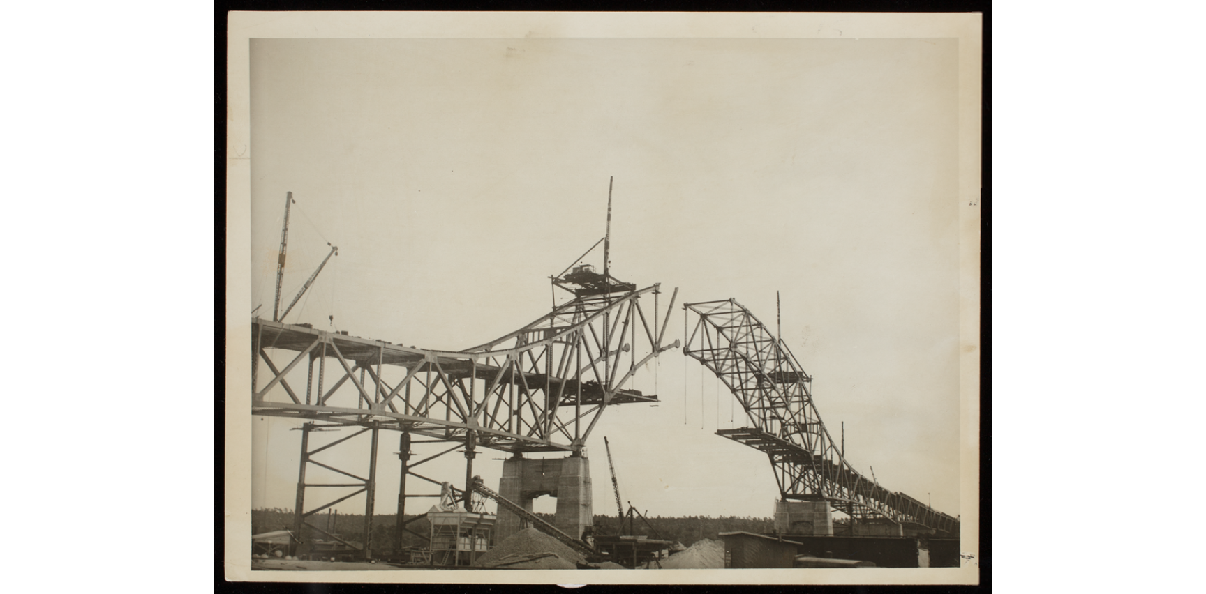
The Bourne and Sagamore Bridges Replacement Project is moving ahead!?


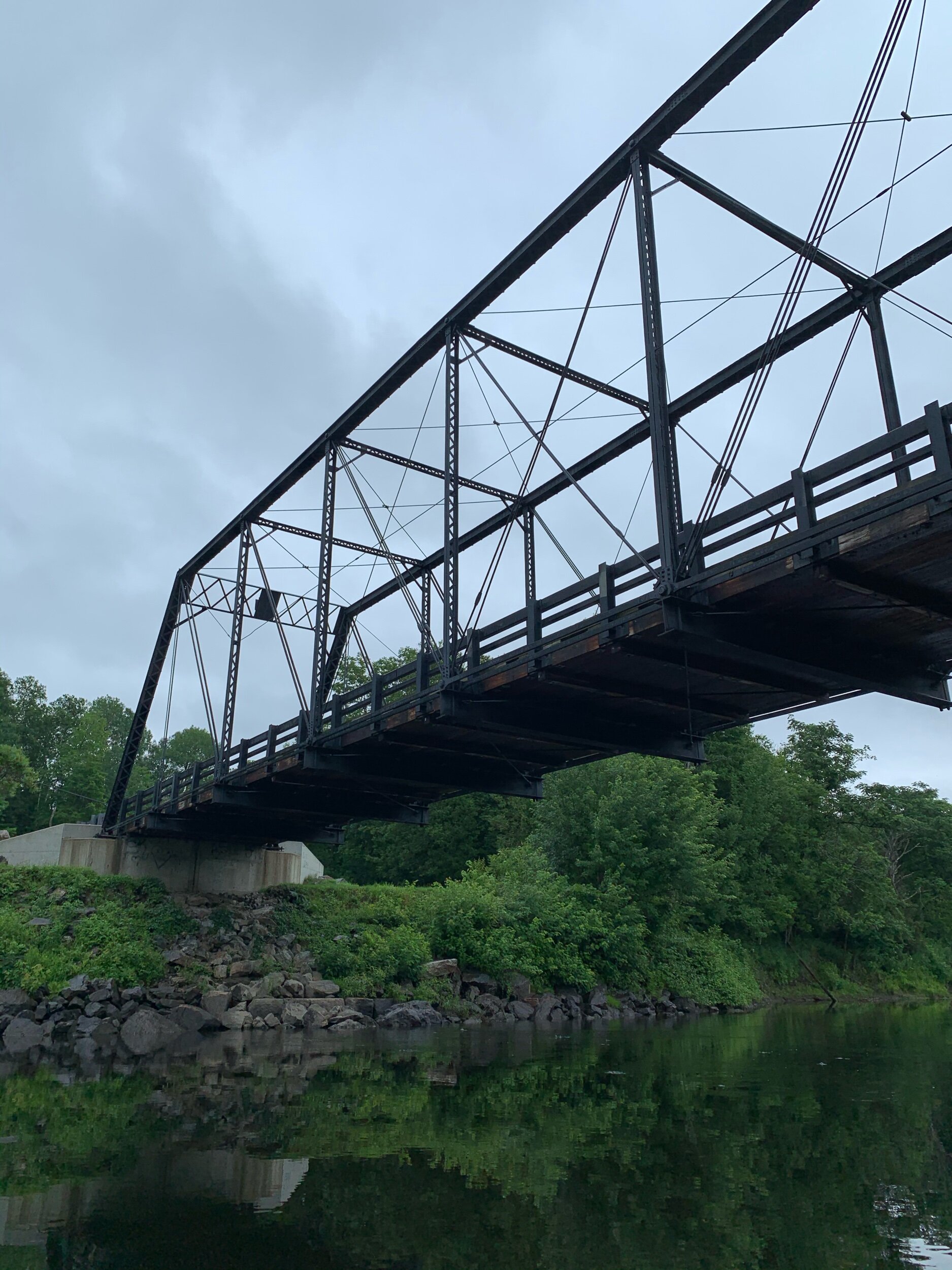
After 87 years of faithfully serving as the crossing to Cape Cod, the bridge pair are being updated. Three options are available for the new bridges: box girder, cable stayed, and through-arch.


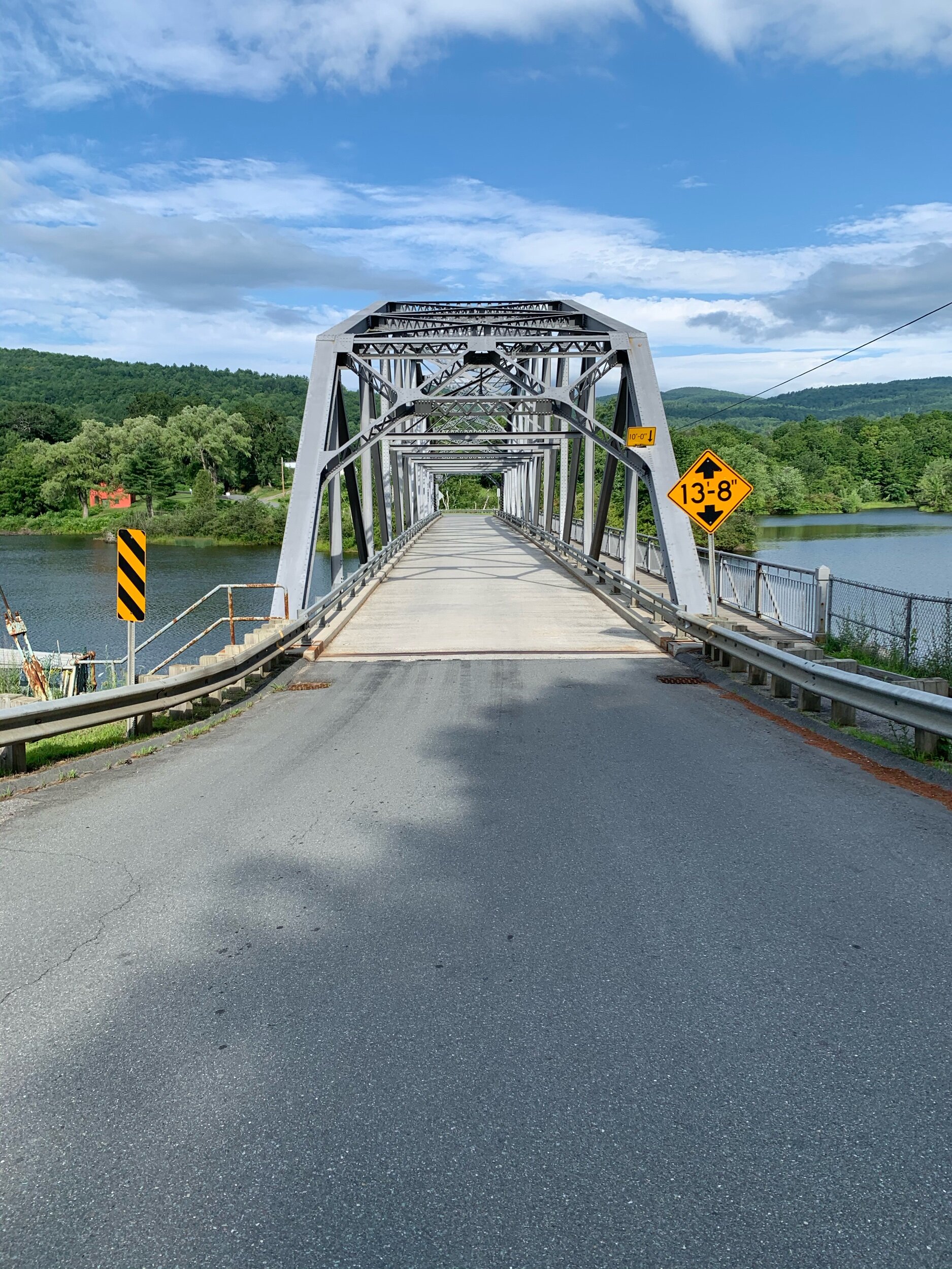
After several meetings with the public, MassDOT has recommended the through-arch as the best option aesthetically, structurally, and for ease of construction. Its self-supported nature would allow it to be built offsite and floated into place from the canal below. The arch is the only true replacement and observe the term they use: “gateway experience”. The bridges have long been the threshold to Cape Cod. Travelers know exactly when they enter and exit as they soar over the Cape Cod Canal at 135 feet.


The problematic part of the project is increasing the number of lanes. The current structures each hold 4 lanes, 2 in each direction. The replacement plan for each location is for twin bridges that hold 4 lanes in each direction, plus a pedestrian / cycle path.
To show what this looks like, a new pair of through-arch bridges with 4 lanes each was recently built over the Merrimack River.


As the threshold to Cape Cod, the bridges are also the biggest bottleneck on route 6; besides a lane reduction in Harwich… And while opening such a bottleneck makes sense on interstates such as 95 that connect a continent, Cape Cod is a terminal moraine left by the Laurentide Ice Sheet. In other words, it is a man made island: A finite space.
The point of this is not gatekeeping or NIMBYISM but a warning: Where are all those cars going to go? Cape Cod’s population swells from 228,000 to more than 500,000 during the summer months. A comparable population to Boston all needing parking at every beach, restaurant, and cute shop on their vacation. You can see how this ends. Induced demand is the economic principle perfectly defined as “If you build it, they will come” and widening the bridges is the invitation. While we do not think of Cape Cod as “urban”, it is going to need more robust options for public transportation in order to not drown in cars.
Or everyone could just bike.
See everyone! I did it! A nice and short post ???
Wait a minute…… Oh no………
Tired Dolphin Noises
I COULDN'T DO IT

Well Neighbors…
As you have guessed by now I was unsuccessful. It has been six months since I wrote and blocked out most of what you see here. The the bridge project progressed and got funding. An-John packed up their lives and moved to New Bedford! The world turned and projects got lost in the cracks. But here I return to finish what I started, because of course there are other things I want to write about. And it would be nice if this piece was no longer looming over me.
Now back to our irregularly scheduled programming…
87 years, that is quite incredible when you stop to think about it.
That is a long time, a span, an era. When the bridges were built, the world was at the bottom of the Great Depression, the global rise of dictators put WWII clearly on the horizon and cars and trucks looked much different.


Today, many of those things still seem true, but cars and trucks have grown substantially.


Modern cars, suvs, and trucks are bigger and heavier than ever. Amazingly, the bridges were overbuilt enough to withstand that change while only planning for 50 years of progress.
We are digressing, but the point is the way we build infrastructure has changed in the past 100 years as the country shifted from industrial to post industrial.


America has a mentality of “new is better” meaning most things built during this period has been torn down and forgotten. The mundane demolition of old buildings is how history is erased and we lose our context.


So how are we to remember the Bourne and Sagamore Bridges when they are gone? The project is moving forward, and they will be dismantled in the future, that is a guarantee. I have a feeling the abutments will remain, they have a way of persisting.


So if we want a better memory than hunks of concrete standing eternally in the canal … we need a plan. We need a path forward. We need the light posts.


The light posts of this iconic pair match the structure of the bridges. Grey trusses evoke a different time of industrial past. Although the bridges are doomed, the light posts could remain. Removed, refurbished, and relocated, they could continue to guide us along the canal for another 100 years.

This is a map of the cape cod canal bike paths. I added the proposed path of the new bridges and light post icon pairs.
A light post to mark every mile of the bike / pedestrian paths that flank the canal, they will stand as a pair with water between. As the chanel meanders, the light posts become a new way to mark distance for all users both nautical and land based. A step further would be installations in each pool of light representing the history, art, and culture of the Cape Cod region. A canal-side gallery.


Outdoor galleries are so hot right now…
As demolition begins, 16 light posts should find new homes and continue to provide illumination: A context to how we got here from our industrial past.
A new kind of threshold.

Well that’s a few words off my pile.
Until next time, neighbors…
~B


Dedicated to the Echo Boy, aka Captain Distraction
crossed the rainbow bridge 12/25/2022